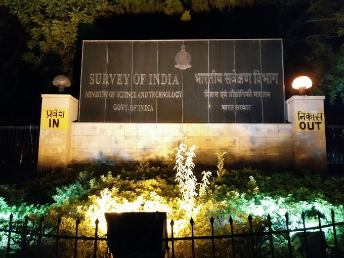
The Survey of India (SOI) is the national mapping organization of India. It was established in 1767 and is one of the oldest scientific organizations in the country. The SOI is headquartered in Dehradun, Uttarakhand, and has regional offices in all major cities across India, including Hyderabad.
The SOI is responsible for the creation, maintenance, and dissemination of geospatial data and services. It produces a wide range of products and services, including:
- Topographical Maps
- Thematic Maps
- Digital Elevation Models
- Aerial Photography
- Satellite Imagery
- Hydrographic Charts
- Geodetic Data
- Geo-informatics Services
The SOI plays a vital role in the development of India. Its products and services are used by a wide range of users, including the government, the private sector, and the general public.
The Survey of India in Hyderabad
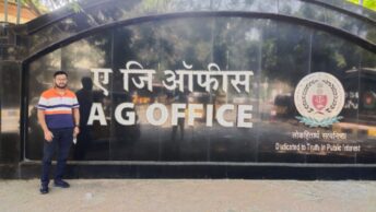
The Survey of India was established in Hyderabad in 1882. The Hyderabad office of the SOI is located at Uppal, which is about 15 kilometers from the city center. The Hyderabad office is responsible for the geodetic surveys and mapping of Telangana and Andhra Pradesh.
The SOI Hyderabad office has a number of divisions, including:
- Geodetic & Research Branch
- Topographical Survey Division
- Survey Training Institute
- National Institute for Geo-Informatics Science & Technology (NIGST)
The Geodetic & Research Branch is responsible for providing geodetic control survey network in the country. The Topographical Survey Division is responsible for the creation and maintenance of topographical maps. The Survey Training Institute provides training to SOI personnel in various surveying and mapping techniques. The National Institute for Geo-Informatics Science & Technology (NIGST) is a premier institute in the field of Geo-informatics.
The Survey of India’s role in the development of Hyderabad
The SOI has played a vital role in the development of Hyderabad. Its products and services have been used in the planning and construction of various infrastructure projects in the city, such as roads, railways, and airports. The SOI has also provided its services to various government agencies and private companies in Hyderabad.
Here are some examples of how the SOI has contributed to the development of Hyderabad:
- The SOI provided geodetic control survey network for the Hyderabad Metro Rail project.
- The SOI provided topographical maps for the planning and construction of the Outer Ring Road (ORR) around Hyderabad.
- The SOI provided aerial photography and satellite imagery for the planning and development of the Hyderabad Airport.
- The SOI provided hydrographic charts for the development of the Krishna River port.
- The SOI provided geospatial data and services to the Andhra Pradesh government for the development of the Amaravati capital city.
The Survey of India’s future in Hyderabad
The SOI is committed to playing a leading role in the development of India. It is investing heavily in new technologies and infrastructure to improve the quality and efficiency of its products and services.
The SOI Hyderabad office is also expanding its operations to meet the growing demand for geospatial data and services in Telangana and Andhra Pradesh. The office is planning to set up new divisions and expand its training programs.
The Survey of India is a vital national organization that plays a key role in the development of India. The SOI Hyderabad office is responsible for the geodetic surveys and mapping of Telangana and Andhra Pradesh. The office has played a vital role in the development of Hyderabad and is committed to playing a leading role in the future development of the city.
Additional Information
Here is some additional information about the Survey of India, Hyderabad:
- The SOI Hyderabad office has a staff of over 500 people.
- The SOI Hyderabad office has a number of specialized laboratories, including a geodetic laboratory, a photogrammetry laboratory, and a cartography laboratory.
- The SOI Hyderabad office has a fleet of aircraft and helicopters for aerial photography and satellite imagery acquisition.
- The SOI Hyderabad office has a number of national and international collaborations with other mapping and surveying organizations.
Here are some personal stories from employees of the Survey of India, Hyderabad:
Ms. Lakshmi, a surveyor: “I have been working at the Survey of India for over 10 years. I am very proud to be a part of this organization. The SOI plays a vital role in the development of India. I am happy to be contributing to the development of my country